FeaturesMapPlannerLog in

Explore the world.

Discover new places
Signup for Free
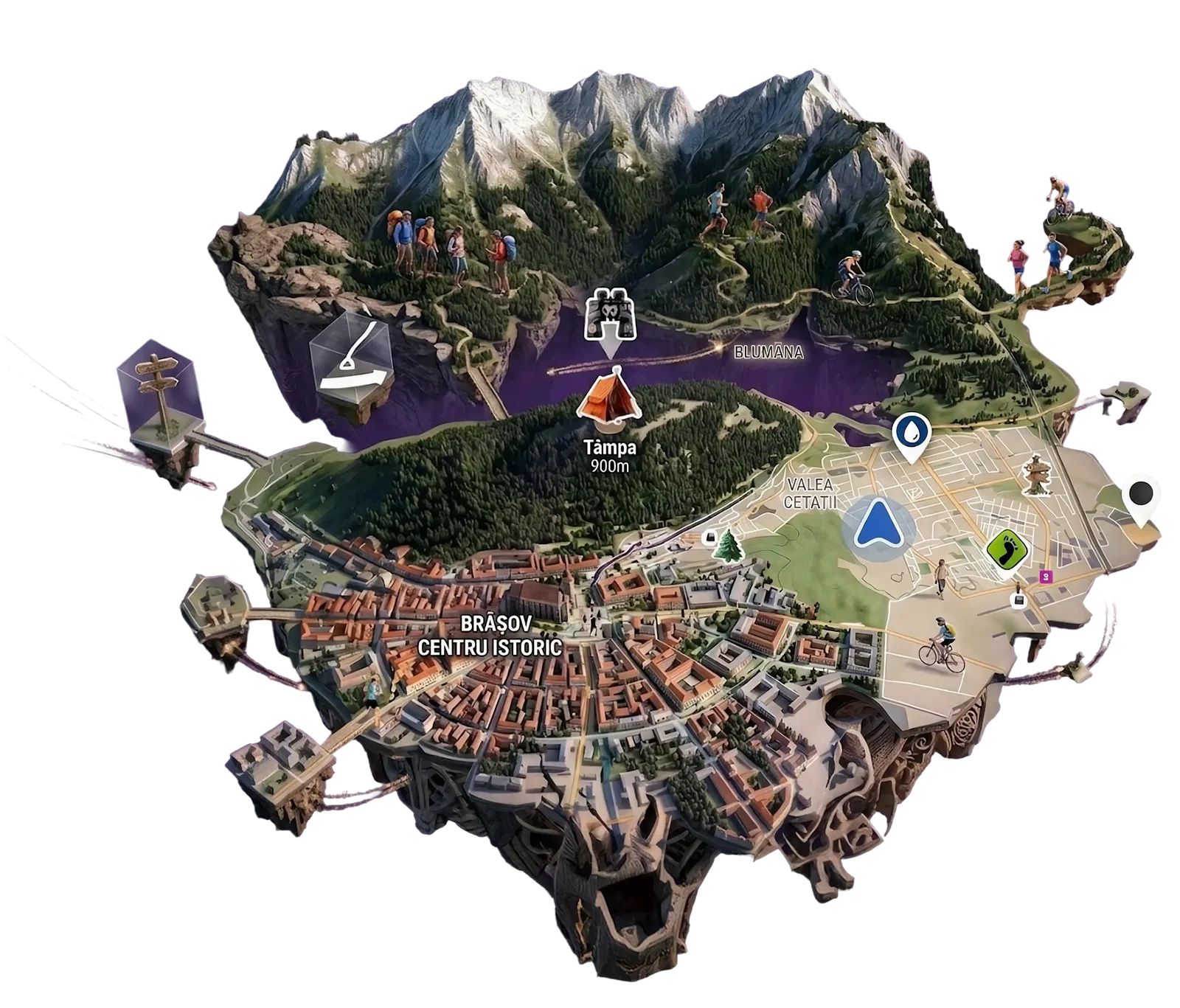
An illustrated 3D map of Brașov and its surrounding trails, with hikers, runners and cyclists on the paths

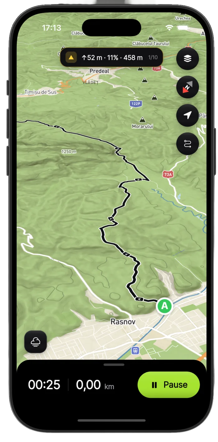
wayly lives on your phone

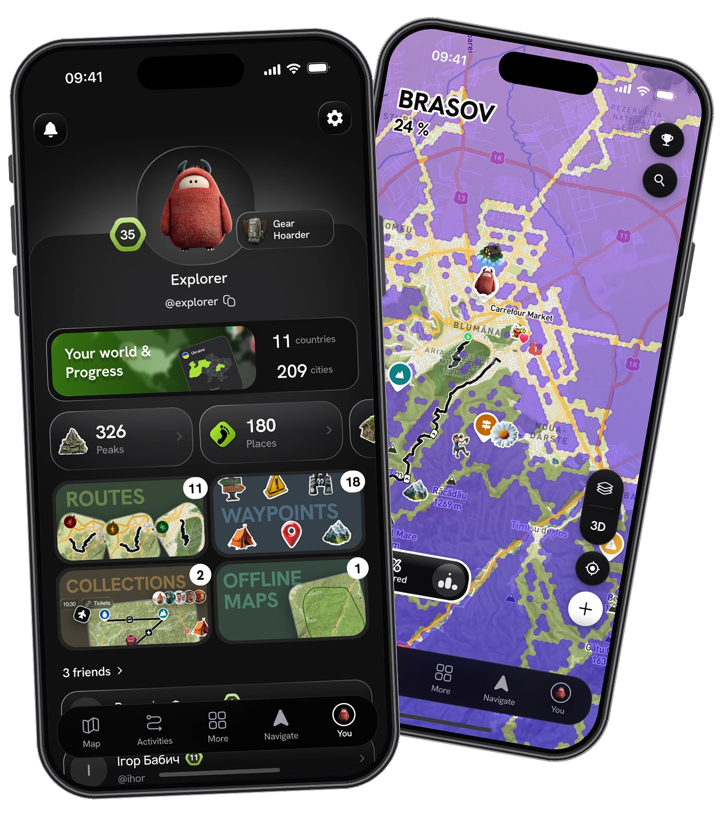
A free wayly account is about the exploring, not the workout: a map of the peaks you have summited, the countries and regions you have opened, and your own waypoints marking what is actually out there. Build a route, navigate it turn by turn, and pull the whole map offline before the signal goes. All of it lives in the app.

The web is the roomy place to plan — draw a route on a big screen, and it is waiting on your phone when you head out.

The wayly profile screen beside the fog map of Brașov

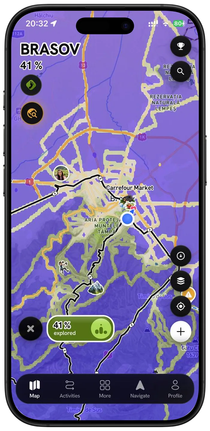
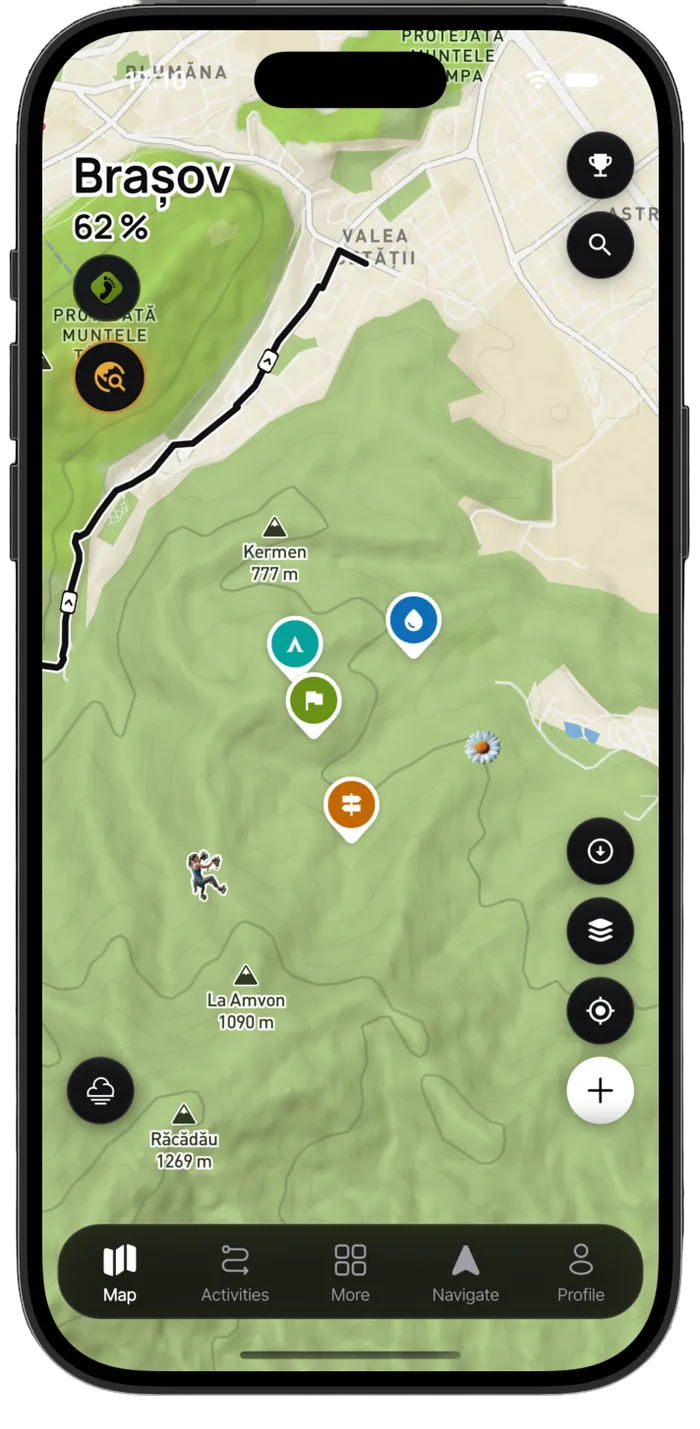
The map starts hidden

Every country begins under fog. Walking, running, riding or hiking through a place is the only thing that clears it — so the map you end up with is a record of where you have actually been, not where you have scrolled.

  • The whole world is one fog layer, not a handful of supported countries
  • Cleared tiles sync to your account and survive a reinstall
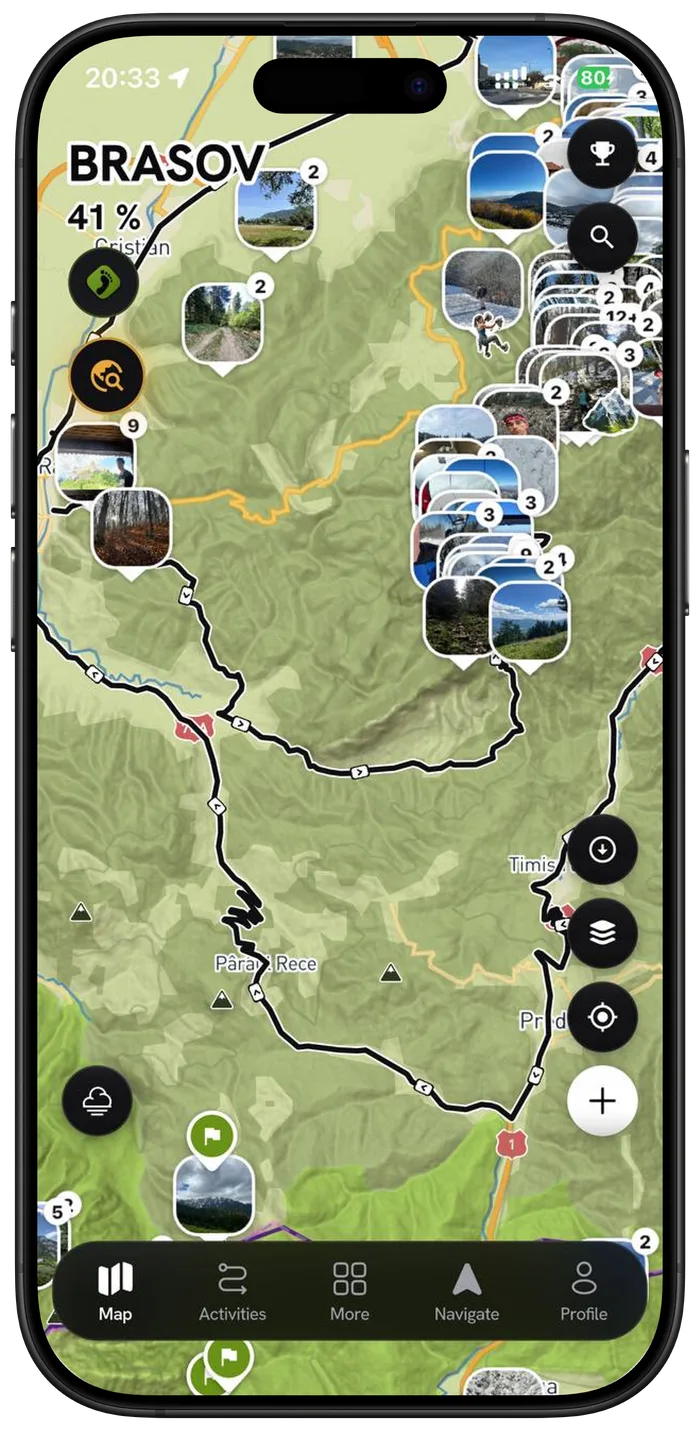
  • Geotagged photos from past trips reveal the ground they were taken on

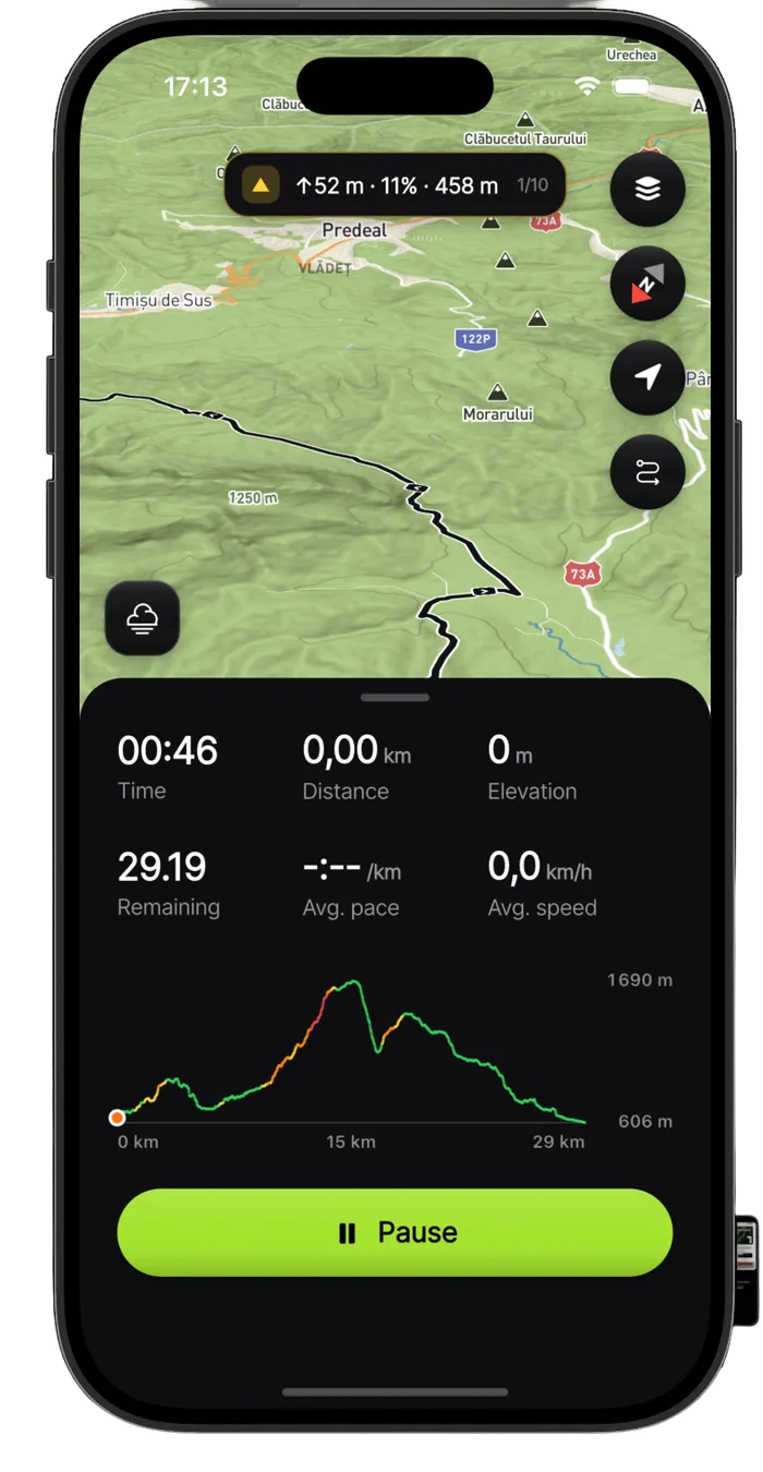
Plan the perfect route

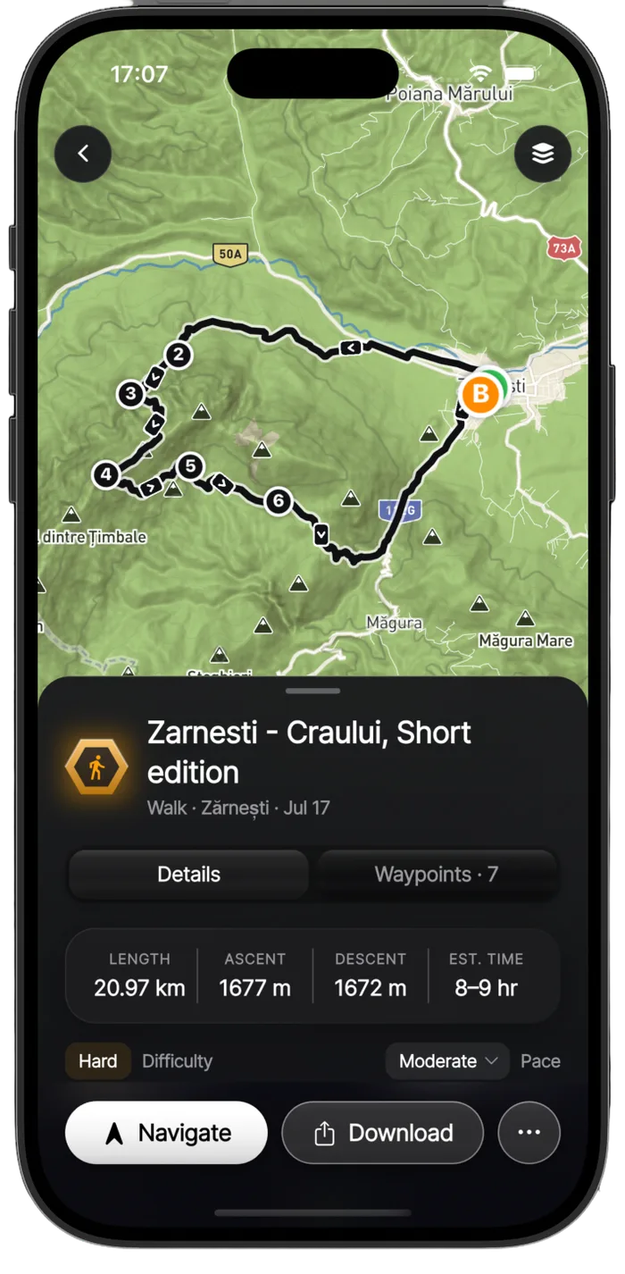
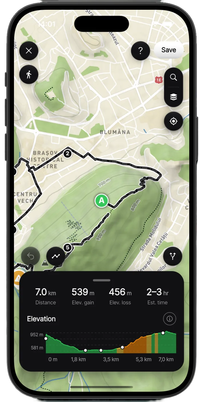
Draw a line and it snaps to real paths. wayly estimates the climb, the time and the pace, lists the peaks, lakes, caves and huts you will pass, and hands the whole thing to your watch.

  • Snap-to-path drawing with elevation profile and difficulty
  • Waypoints in seven categories, split into day segments
  • Off-route alert if you drift more than 75 m for half a minute

Mark what is actually there

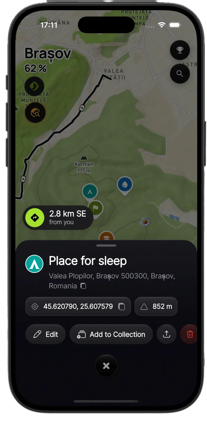
A spring that still runs, the hut with the broken door, the turn the trail sign gets wrong. Drop a point where you are standing and it is on your map for good — and on the route you plan next winter.

  • Long-press on the phone, or hold and right-click on the web: the spot, then what it is, then the details
  • A name, notes and a public-or-private switch on every point
  • Hang them off a planned route and its day segments, so day two carries its own water and its own camp

Track it, or import it

Record live with GPS, or let the activities you already have arrive on their own. Apple Health, GPX files and your watch all feed the same map, and a library of hundreds of past activities still opens fast.

  • Live GPS tracking that keeps running with the screen off
  • Lock-screen and Dynamic Island Live Activity while you move
  • Bulk GPX import keeps each activity's real date
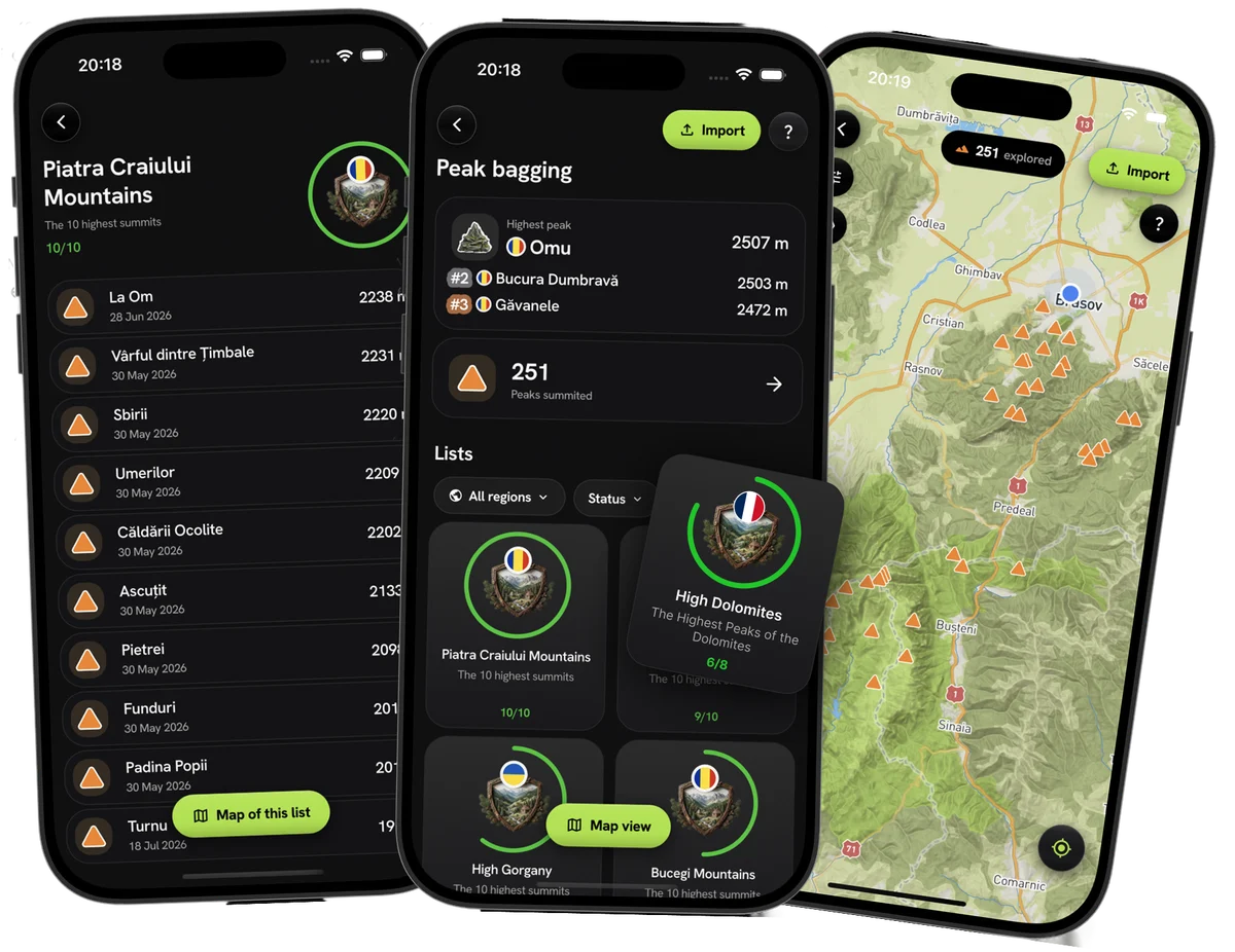
Peak lists, a summit tally and a map of every peak reached

Collect the summits

Every peak you reach is logged with the date you stood on it. Your three highest sit at the top, the rest add up, and each mountain range becomes a list you can close out one summit at a time.

  • Your highest peaks ranked, above a running count of every summit
  • A list per range that tracks how many of its ten highest you have left
  • Every peak you have reached on one map, so the gaps are obvious
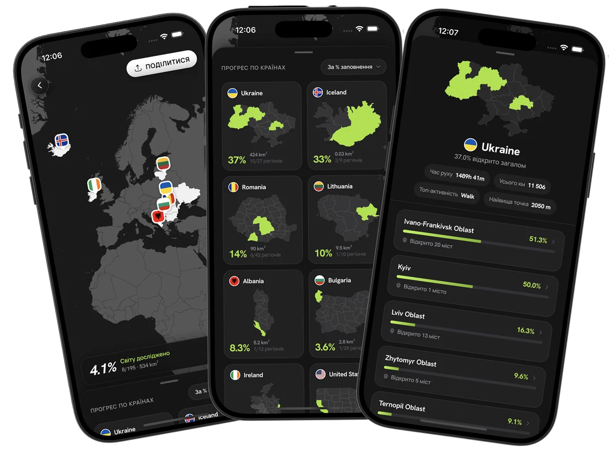
A world map of explored ground, per-country progress and a country broken down by region

Your world map

Zoom out and the planet becomes one scoreboard: how much of it you have opened, and how many countries you have set foot in. Each country keeps its own share, and opens into the regions and towns behind it.

  • A share of the whole world, and of every country you have entered
  • Per country: moving time, total distance, top activity and highest point
  • Each country breaks into regions, with the towns you have opened in each

Share it like it deserves

Not a screenshot of a map. A film of the ridge in golden light, your city as a 3D tile with every street you have walked burnt into it, and a sticker for the photo you already took.

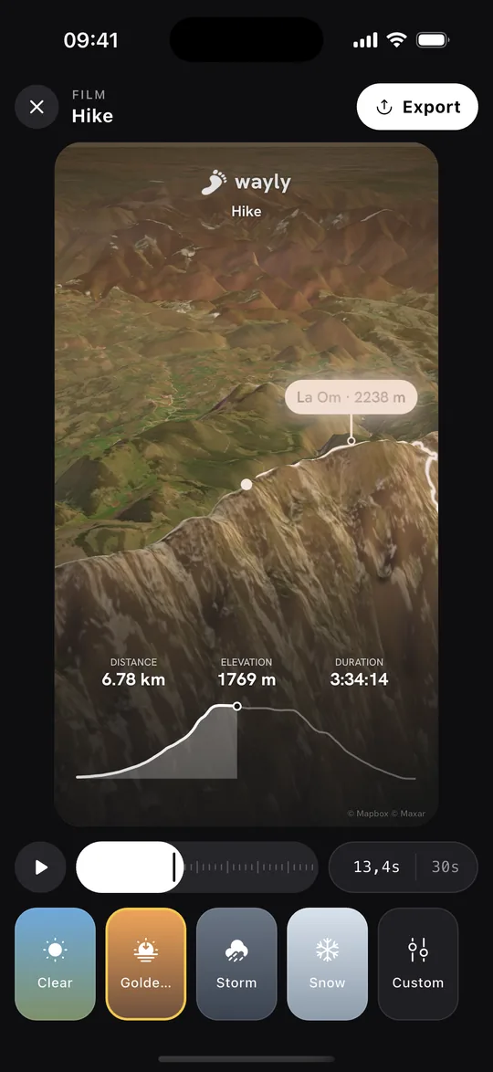
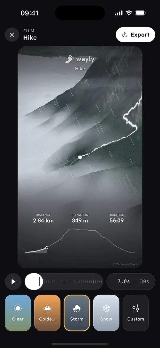
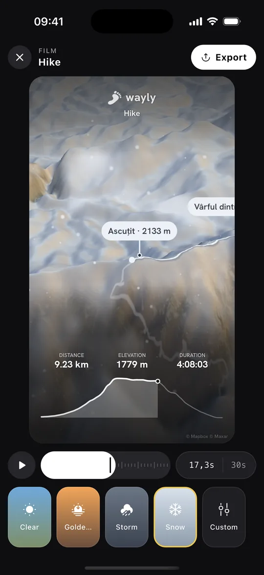
Turn a hike into a film

A 3D flyover of your track with the weather you choose: the height of the sun, a cloud deck, rain on the lens, snow on the peaks, fog lying in the valleys. Pick a look, frame it for Stories, Reels or the feed, and export.

Midday sun over the whole route
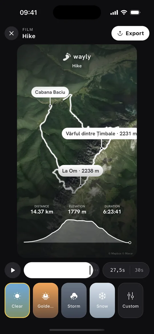
The wayly Film studio previewing a Bucegi hike in the Clear look

Your city, as a 3D tile

The place you have been opening, cut out as a slab, with every street you have walked inlaid in it. Tip it with a finger, then post it as a still or a 12-second loop.

Fields, roofs, forest and relief, streets inlaid in orange. Forest and Night finishes are in the app too.

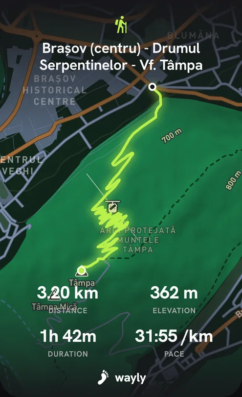
Ten formats for every track

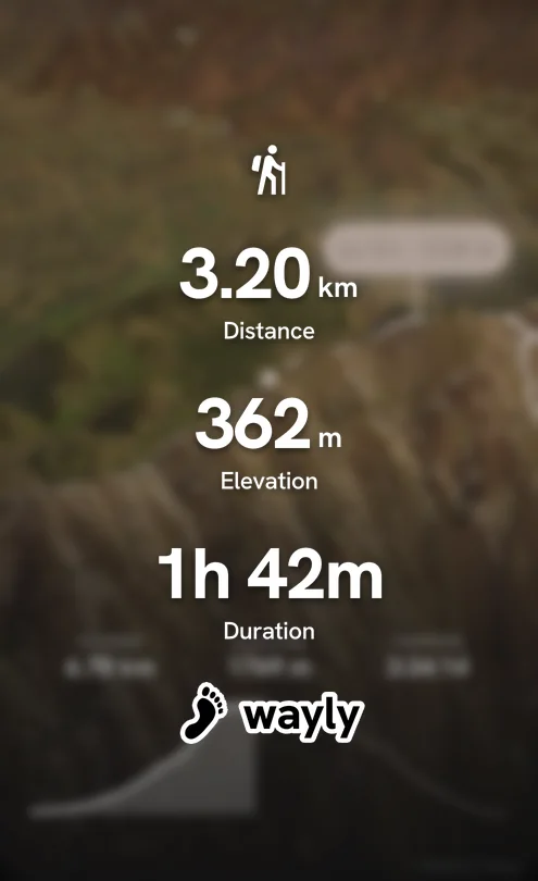
Swipe through them in the share sheet: the animated map, stickers with a transparent background, figures on their own, a white card — or the raw GPX for another app.

  • Animated mapThe route draws itself — video
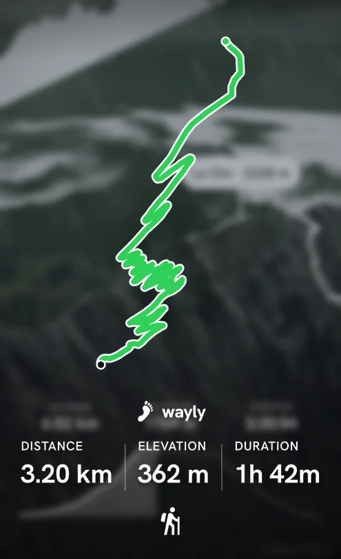
  • Dark map share card
    Dark mapLime track, all the numbers
  • Figures sticker share card
    Figures stickerTransparent, for your own photo
  • Track sticker share card
    Track stickerThe line and the stats, no map
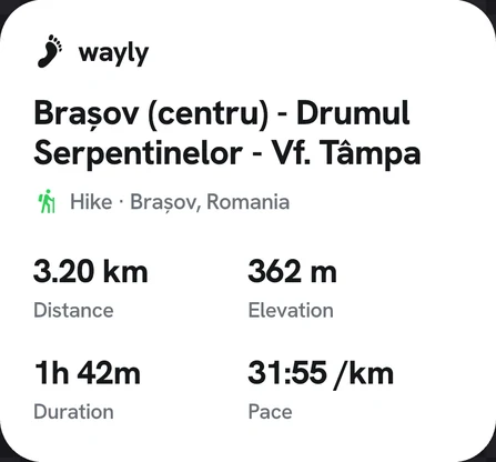
  • Card share card
    CardA clean white summary
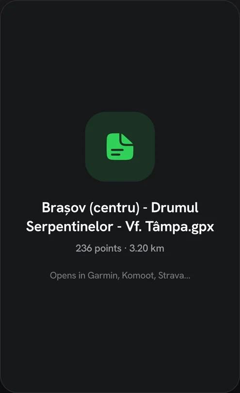
  • GPX share card
    GPXOpens in Garmin, Komoot, Strava

Step into the fog

The street you have never turned down is worth more here than the one you run every morning. Go the other way.

Signup for Free

Your movement deserves a map

Download it, walk out of your door, and watch the first hole open in the fog.